
BEAUMONT, Texas —
Forecast Discussion
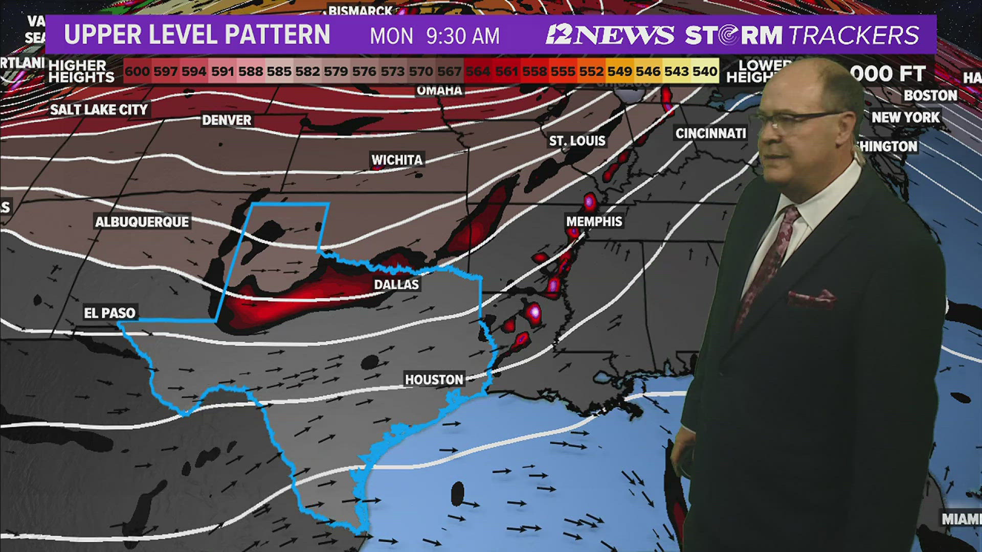
Windy, warm, humid conditions are forecast tonight and Sunday across SE Texas with mainly dry conditions. Showers and thunderstorms will approach the Lakes late in the day and the Triangle Pre Dawn hours Monday.
Scattered afternoon showers and thunderstorms are possible Sunday Afternoon late due to an upper-level disturbance. Heaviest will be Monday morning.
Scattered showers and thunderstorms are forecast Tuesday with warm, humid, breezy conditions.
Scattered storms are forecast Wednesday as yet another disturbance aloft moves across the region.
Scattered showers and thunderstorms are forecast to return to the forecast Thursday and Friday late next week with lows in the lower 70s and highs in the lower to middle 80s.
Short Term Forecast
Triangle Saturday Night: Mostly cloudy, warm, humid and windy with a 10% coverage of showers. Low near: 74° in Beaumont, near: 74° in Orange and 74° in Port Arthur. Winds: Southeast: 15-20 mph with gusts to 30 mph.
Lakes Area Saturday Night: Mostly cloudy, warm, humid and windy with a 10% coverage of showers. Low near: 73°. Winds: South-Southeast: 10-20 mph with gusts to 25 mph.
Triangle Sunday: Partly sunny, warm, humid and windy. A 30% coverage of storms late. High near: 83° in Beaumont, near: 83° in Orange and near: 82° in Port Arthur. Winds: Southeast: 15-20 mph with gusts to 35 mph.
Lakes Area Sunday: Partly sunny, warm, humid and windy. A 50% coverage of storms late. High near: 83°. Winds: South-Southeast: 15-20 mph with gusts to 30 mph.
Extended Forecast
Monday (4/29): Partly sunny, warm, humid, windy with a 70% coverage of morning showers and thunderstorms. Low near: 70°. High near: 81°. Winds: South becoming Southeast: 10-15 mph with gusts to 25 mph.
Tuesday (4/30): Partly sunny, warm, humid, breezy with a 40% coverage of afternoon showers and thunderstorms. Low near: 72°. High near: 83°. Winds: South to Southeast: 10-15 mph with gusts to 20 mph.
Wednesday (5/1): Mostly cloudy, warm, humid and breezy with a 50% coverage of afternoon showers and thunderstorms. Low near: 72°. High near: 82°. Winds: South to Southeast: 10-15 mph with gusts to 20 mph.
Thursday (5/2): Mostly cloudy, warm, humid and breezy with a 40% coverage of afternoon showers and thunderstorms. Low near 73°. High near 83°. Winds: Southeast: 10-15 mph with gusts to 20 mph.
Friday (5/3): Mostly cloudy, warm, humid and breezy and a 40% coverage of showers and thunderstorms. Low near: 72°. High near 83°. Winds: Southeast: 5-10 mph with gusts to 20 mph.
Saturday (5/4): Mostly cloudy, warm, humid and breezy with a 30% coverage of showers and thunderstorms. Low near: 73°. High near 84°. Winds: East becoming Southeast: 5-10 mph with gusts to 20 mph.
Sunday (5/5): Partly sunny, warm, humid and breezy with a 30% coverage of showers and thunderstorms. Low near: 73°. High near: 84°. Winds: Southeast becoming South: 5-10 mph with gusts to 20 mph.
Monday (5/6): Partly sunny, warm, humid and breezy with a 30% coverage of showers and thunderstorms. Low near: 73°. High near: 85°. Winds: South to Southeast: 5-15 mph.
Tuesday (5/7): Partly cloudy with lows in the low 70's and highs in the mid 80's. Winds: South/southeast 10-15 mph