BEAUMONT, Texas — Wind advisories are still in place after the NWS Storm Prediction Center called for an enhanced risk of severe thunderstorms on Thursday for parts of Southeast Texas.
A wind advisory is in place until 9 p.m. for most of the region.
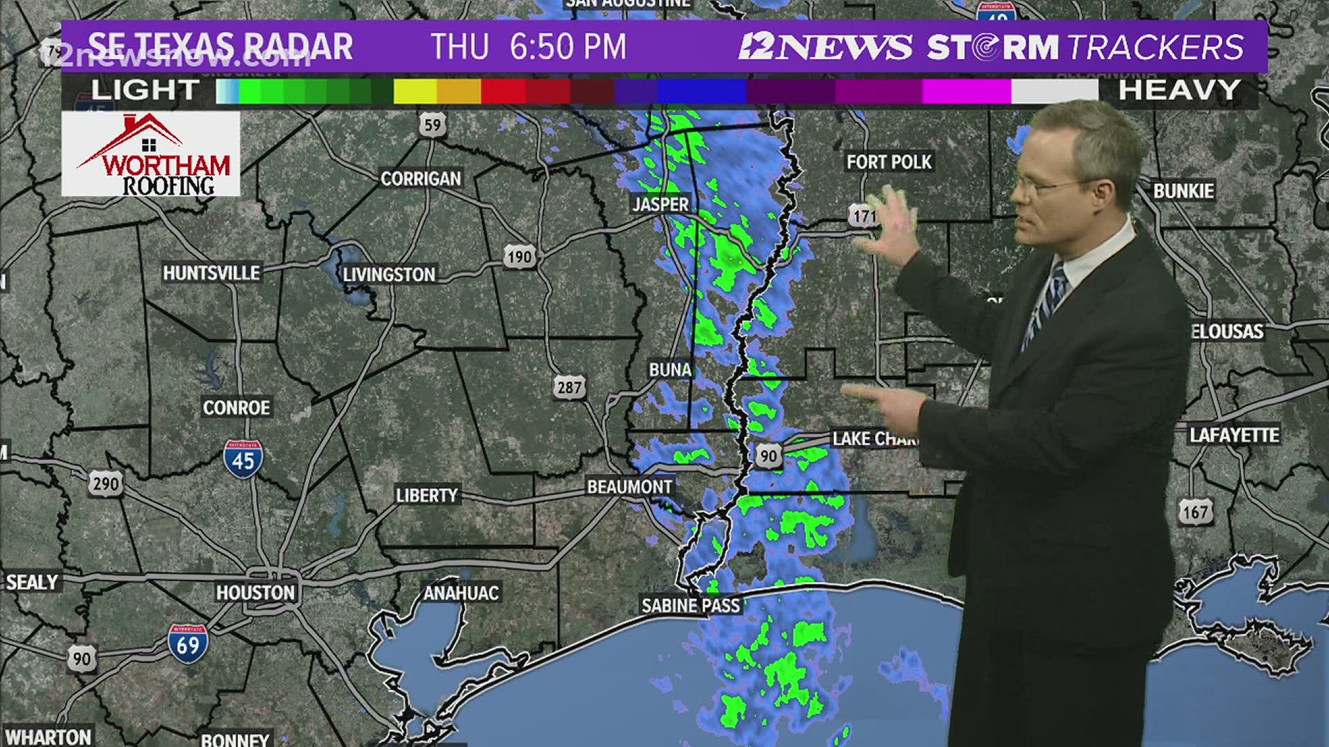
Rainfall totals varied greatly across the area on Thursday, with more than 6 inches in some areas. Some spots near Orange only got about .2 inches of rain.
Day-by-Day Impacts
Thursday Night: The strongest storms should be out of Southeast Texas around 6-7 p.m.
Low around 42. Southwest winds expected to reach 10 to 15 mph, with gusts as high as 25 mph.
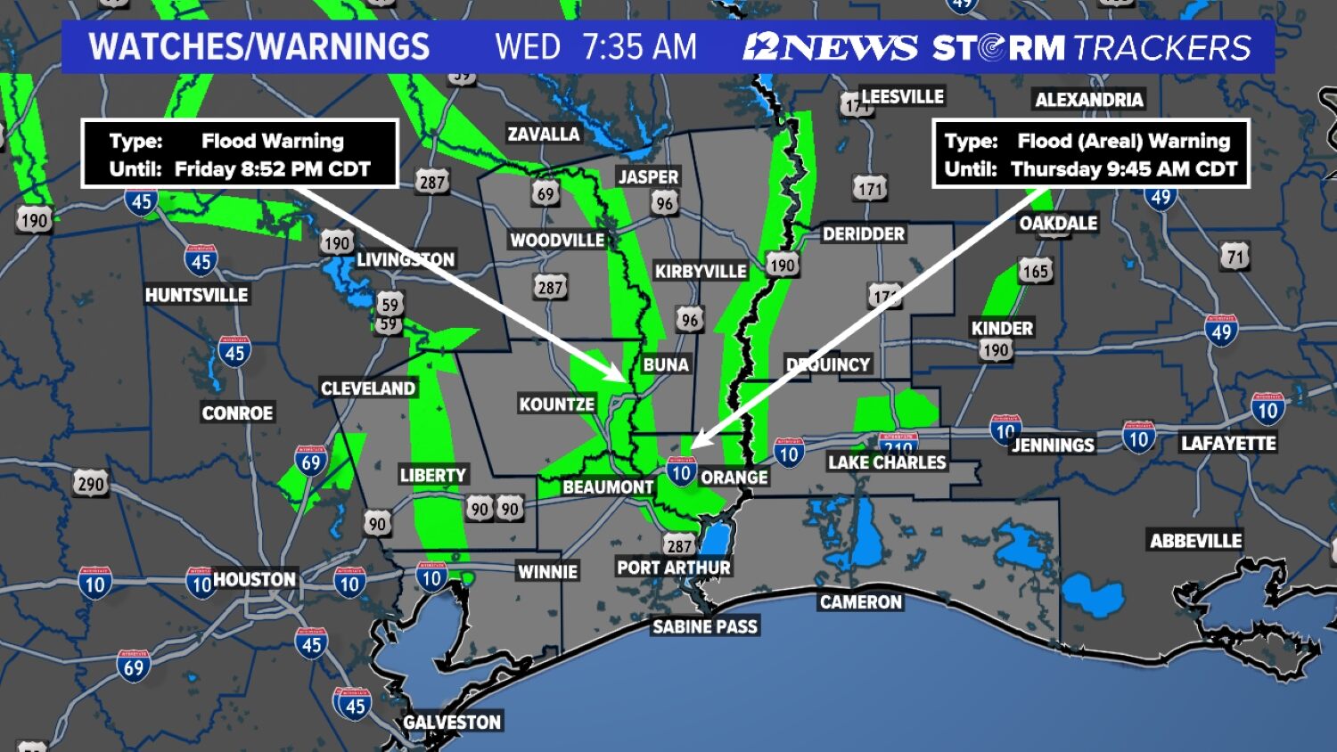
A Tornado Watch is officially in effect for Orange and Newton Counties until 9 p.m.
Friday: It will be a very cold and blustery New Year's Day across SETX. Expect mostly cloudy conditions, then gradual sunny conditions with a high near 58 degrees. West winds of 5 to 10 mph are possible.